Adam Dant’s Map of the Journey to the Heart of the East End

Click to enlarge
The Museum of London commissioned cartographer extraordinaire Adam Dant to explore the question“Where is the East End today?” And, with characteristic ingenuity, Adam contrived an elaborate ruse, in the form of an epic quest to discover the heart of East London, resulting in the map you see above which records both the details of the journey and its unexpected outcome.
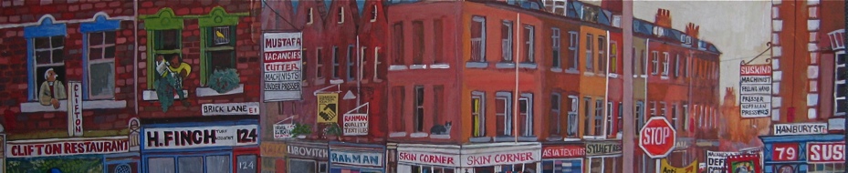
Daniel Langton served as Adam’s scout, making a reconnaissance by asking people on the street for the whereabouts of the heart of the East End and following their directions to the letter, however whimsical or strange. Some of the people “Scout Langton” encountered had never visited the territory before while others had lived here for generations, but all the directions they gave him led inexorably to the same location. Once the heart of the East End had been discovered, Adam designed his map around it, organising the postcodes of East London in a similar fashion to the map of central Paris which is structured around a spiral of the arrondissements in ascending numerical order. Thus his map charts the East End of popular conception and lore rather than the East End of conventional topography.
Those of us who are disappointed to learn that the consensus on the street is that a bin in Westfield Shopping Centre is perceived to be the heart of the East End, let us consider Odysseus. We may recall that while Ithaca was the purpose of his twenty-year voyage, Odysseus understood that Ithaca had given him a wonderful journey in itself. Let us contemplate Adam Dant’s map of the journey to the heart of the East End in the same spirit and take our consolation in the widely-held belief that “travelling is more important than arriving.”


According to Adam Dant’s researches on behalf of the Museum of London, this waste bin in the Westfield Shopping Centre in Stratford marks the Heart of the East End.
Map reproduced courtesy of Museum of London
Images copyright © Adam Dant
You may like to take a look at some of Adam Dant’s other maps
Map of the History of Shoreditch
Map of Shoreditch in the Year 3000
Map of Shoreditch as the Globe
Map of the History of Clerkenwell

Click here to buy a copy of The Map of Spitalfields Life drawn by Adam Dant with descriptions by The Gentle Author


Absolutly Wonderful…Adam is by far one of our best Artists!!!
I’m sure that Mary Portas’ PR company, which represents Westfield Stratford, will waste no time utilising this piece of information. Wouldn’t be surprised if the bin gets a plaque.
Never before has the saying ‘travelling is more important than arriving’ held more truth.
This made me laugh out loud – it’s wonderful. I live in Stratford – about ten minutes walk from that bin. Having been born in Wapping and grown up in Stepney I often joke to friends that, to me, Stratford is semi-rural. I see that I am going to have to rethink!
Joan
Super post – really engaging. Puts me in mind of Constantine Cavafy’s superb poem “Ithaca”.
Alan is quite right – everything east of the River Lea is suburbia. The East End is Spitalfields, Whitechapel, Bethnal Green, Wapping and Stepney. Stratford isn’t even IN the East End, let alone at it’s centre.
The heart of today’s East End is a twenty first century dustbin?
I would argue that the original heart of the real East End was the area around the Blind Beggar public house in Whitechapel Road. As well as being the Kray twins’ manor, it was where William Booth, founder of the Salvation Army, first preached in the open air. In 1853, Whitechapel, Bethnal Green and Stepney were in Middlesex, Stratford was further east, in Essex. The unofficial border of the East End during the 20th century was the River Lea and the Westfield Shopping Centre falls on the wrong side of the Lea.